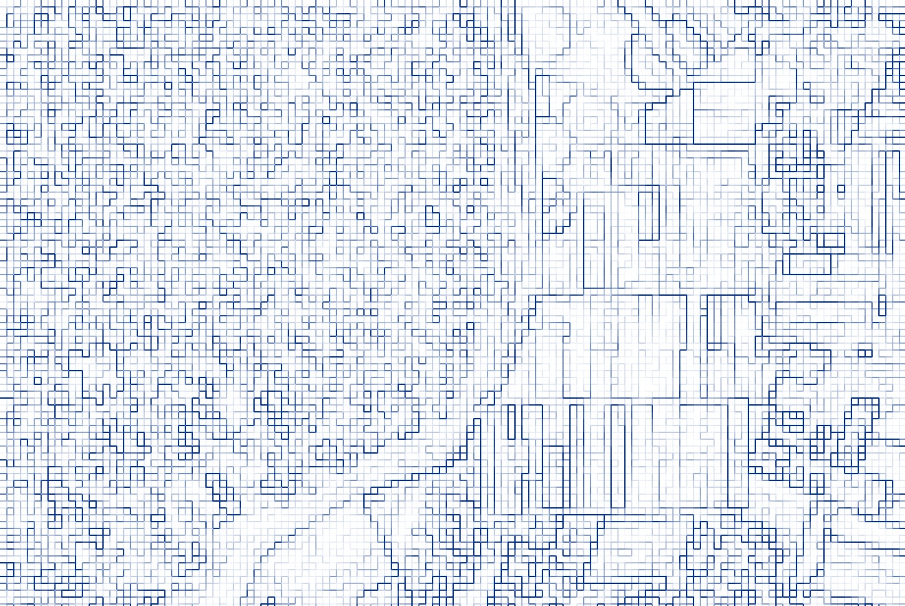
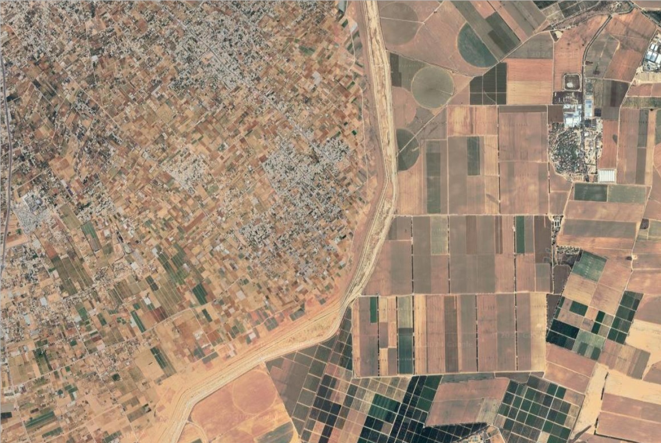
MAPPING OF DISTINCTION III
Fine art gicleè print, 8x11 cm
Hahnemühle Museum Etching 350 gsm · 100% cotone
Edition of 12
2024
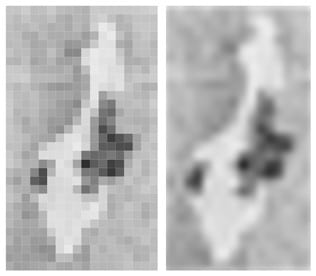
The concept of "pixel injustice" addresses the critical issue of how satellite imagery, especially in conflict zones, can be manipulated or distorted, leading to significant repercussions in the documentation and understanding of events. This manipulation can obscure or misrepresent evidence, which is crucial in the context of human rights abuses. The term underscores the potential for biases in the representation of reality through satellite images, which are often seen as objective and impartial sources of information.
Eyal Weizman's research in forensic architecture involves meticulous analysis of such imagery to uncover the truth behind these distortions. By highlighting "pixel injustice," he draws attention to the need for more transparent and accountable uses of satellite technology in human rights investigations.
In the context of Gaza, the "mapping of distinction" could refer to efforts to apply these principles to a specific, highly scrutinized region. The Gaza Strip, with its history of conflict/war and frequent incidents of violence, represents a critical area where accurate documentation is vital. Distortions in satellite imagery here can significantly impact international understanding and responses to the conflict/war, making this work all the more relevant.
However, this is just an artwork attempt to create an abstract map, not a scientific or social study, but rather a simple personal reflection.


