WHO IS MIDDLE EASTERN?
Video and sound installation, 938x1200 pixel, 8-bit video, 6 second in loop
2021
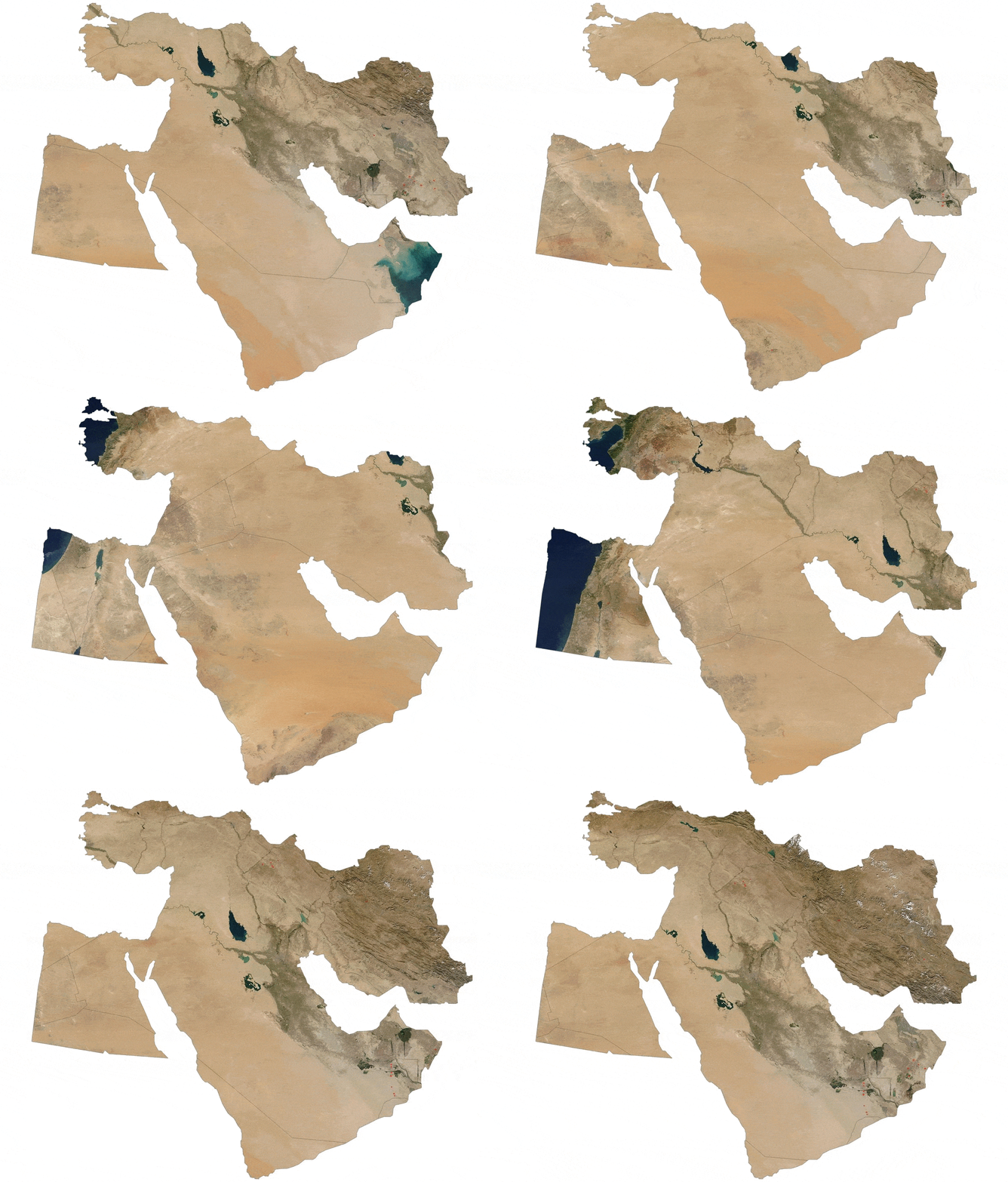
The middle east is a political term rather than a geographic description which is originated from the British India Office then become widespread thanks to the U.S.A., particularly the Middle East Institute (1946) and the Middle East Policy Council (1981) It seems like the “middle eastern” folks do not have any contribution to this term. However, it is internalized vaguely. Middle east sometimes can be equivalent to chaos, sometimes Islamic terrorism, and sometimes just some abstract cultural entities. Blurry typography is a stylistic choice to express all these questions that I constantly ponder which are also generated from my cultural identity problems. The borders are taken for granted based on basic internet research to analyze the most widely accepted middle eastern territory. Since NASA is a tool for the U.S. particularly in foreign policy, inside the boundaries, a variety of NASA ’s Terra Satellite space images (2003) inserted. The Office of Legislative and Intergovernmental Affairs declares its mission as overseeing both legislative and non-legislative exchanges and partnerships between NASA and the US Congress, along with state and local governments. NASA claimed the map covers Turkey, Iran, Syria, Iraq, Lebanon, Israel, Jordan, Kuwait, Saudi Arabia, and Egypt. To highlight the non-practicality of the definition, the images are cropped and manipulated so that any of the maps are irrelevant to reality.
Who is middle eastern?
Who is belong to the Arab world?
Who is Afro-Eurasian?
Who is near eastern?
Who is western Asian?
Who is north African?
Who is belong to the Islam world?
